The fourth Wetlands in Action webinar dives into remote sensing tools that help us monitor wetlands, track restoration progress, and quantify carbon loss at scale. Read on.
About the webinar
The Wetlands in Action webinar series is back with its fourth session, continuing the journey through cutting-edge science, innovation, and cross-project collaboration driving wetland restoration across Europe.
This webinar series is jointly organised by the Horizon Europe sister projects ALFAwetlands, RESTORE4Cs, REWET, and WET HORIZONS. Together, these initiatives aim to strengthen knowledge exchange and showcase complementary approaches to wetland restoration, monitoring, and climate mitigation.
What this session is about
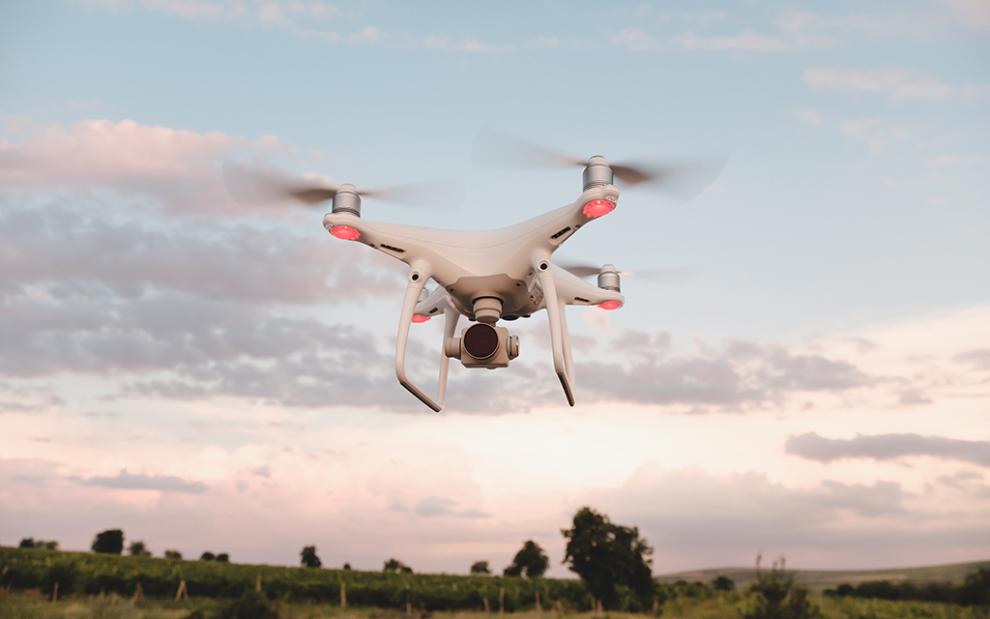
This session is dedicated to the presentation of ALFAwetlands and WET HORIZONS research on the remote sensing-based monitoring of wetlands and their restoration, as well as to the subsidence and carbon emission: a fully remote sensing framework for quantifying peatland carbon loss in large-scale.
Please note, that the session will be recorded and made publicly available for wider dissemination and learning. Number of participant is limited!
Register here!
Speakers & presentations:
- Remote sensing-based monitoring of wetlands and their restoration, Parvez Rana, ALFAwetlands
- From Subsidence to Carbon Emission: A Fully Remote Sensing Framework for Quantifying Peatland Carbon Loss in Large-scale, Pouya Ghezelayagh, WET HORIZONS
Practical information and registration
The webinar will take place online on February 10th 2026, from 11:00 to 12:00 (CET).
Missed earlier sessions? Catch up on: